Main Earth Grid

كل تصميماتنا مطابقة للكود السعودى والدولى

معتمدين من بلدى

معتمدين من امانة الرياض

معتمدين من هيئة مدن

معتمدين من الدفاع المدنى

Learn about the importance of contracting with an accredited engineering consultancy, the conditions and requirements involved, and how to choose the best engineering offices to manage and design your projects effectively and efficiently.
Contact us now or reach us on WhatsApp at the following number:
0557984942

© 2012 All Rights Reserved

Main Earth Grid


The Main Earth Grid Humans have turned the round Earth into a workable grid so we can locate any point with simple numbers. The “Main Earth Grid” is the global coordinate system built from latitude and longitude, the foundation that makes modern navigation, mapping, and geospatial analysis possible. What is the Earth grid? - Latitude lines run east–west and measure how far north or south a location is from the equator. They form parallels that are evenly spaced on a globe. - Longitude lines run north–south and measure how far east or west a location is from the Prime Meridian, which runs through Greenwich, England. - Each coordinate is expressed in degrees (°), with minutes ('), and seconds ("). A pair of latitude and longitude pinpoints a location on the globe. Key reference systems: - WGS84 (World Geodetic System 1984) is the standard global frame used by GPS. It defines a precise ellipsoidal model of Earth and a set of coordinates to locate positions worldwide. - UTM (Universal Transverse Mercator) divides the world into 60 zones and projects the curved surface onto flat maps within each zone. It’s widely used for detailed local mapping and navigation. - MGRS (Military Grid Reference System) is a compact way to express UTM coordinates plus zone and band identifiers, useful for military and emergency planning. How the grid is used: - Navigation: GPS devices, smartphones, and aircraft rely on the world grid to determine routes and positions. - Mapping and GIS: Geographic Information Systems store, analyze, and display data tied to precise coordinates. - Science and planning: Researchers track climate data, wildlife movements, and disaster response plans using consistent coordinates. - Everyday life: Addressing, geotagging photos, and even ride-hailing services rely on accurate grid references. Why this grid matters: - Standardization: A common framework lets people and systems from different countries and industries share data seamlessly. - Precision: Modern grids provide centimeter- to meter-level accuracy in many applications, enabling precise surveying, construction, and autonomous systems. - Flexibility: Different grids suit different tasks. A global frame (like WGS84) is great for worldwide tasks, while UTM is excellent for area-wide mapping and engineering projects. Limitations and caveats: - The Earth isn’t a perfect sphere; it’s an oblate spheroid. Any flat-map projection or local coordinate system introduces distortions in area, shape, distance, or direction. - Conversions between grids (e.g., from lat/long to UTM) require careful math and context about the region and zone. - Distortions grow with distance from the poles in many projections, so choosing the right grid or projection is important for accuracy. In short, the Main Earth Grid is the global framework that turns a curved planet into a navigable, measurable space. It underpins today’s digital maps, travel, science, and many technologies we rely on every day. If you’d like, I can tailor this into a shorter summary, a more technical explainer, or a version with a specific audience in mind.


Main Earth Grid

We are a consulting and contracting company in the same group, For pricing or design download our app, For any purchasing please contact us ASAP 


All designs are according to NFPA

© 2020 All Rights Reserved

Engineering & Safety Consulting Company Saudi Arabia
Saif – Engineering & Safety Consulting

Integrated Engineering & Safety Consulting Services

We are a specialized engineering consulting firm delivering comprehensive architectural, structural, mechanical, electrical, fire protection, industrial, oil & gas, and environmental engineering services. All designs, studies, and reports are prepared in full compliance with SBC, NFPA, FIDIC, API, ISO, and Saudi Civil Defense & MODON requirements.

🔧 1. General Engineering Consulting

  • FIDIC Contract Administration & Claims Management
  • Engineering Feasibility Studies & Technical Due Diligence
  • Project Management & Technical Supervision
  • Engineering Risk Analysis for Mega & Industrial Projects

🏗️ 2. Civil & Structural Engineering Consulting

  • Structural design of reinforced concrete & steel buildings
  • High-rise towers, bridges, tunnels, and road structures
  • Geotechnical & soil investigation studies
  • Seismic, wind & load analysis (ETABS / SAFE)
  • Structural assessment & retrofit of existing buildings

📐 3. Architectural Design & Urban Planning

  • Residential, commercial & mixed-use architectural design
  • Façade engineering & sustainable green architecture
  • Urban planning & master planning services
  • BIM modeling & coordination (Revit Architecture)

⚙️ 4. Mechanical Engineering Consulting

  • HVAC systems design & energy optimization
  • Water supply, drainage & plumbing systems
  • Pumping stations, compressors & industrial cooling
  • Fuel systems: Diesel, LPG & Natural Gas
  • Industrial mechanical & process systems

⚡ 5. Electrical Engineering Consulting

  • Low & Medium Voltage (LV/MV) power systems
  • Load calculations, voltage drop & short-circuit studies
  • Solar PV & renewable energy systems
  • Low current & ELV systems design
  • BMS, SCADA, CCTV & Access Control Systems

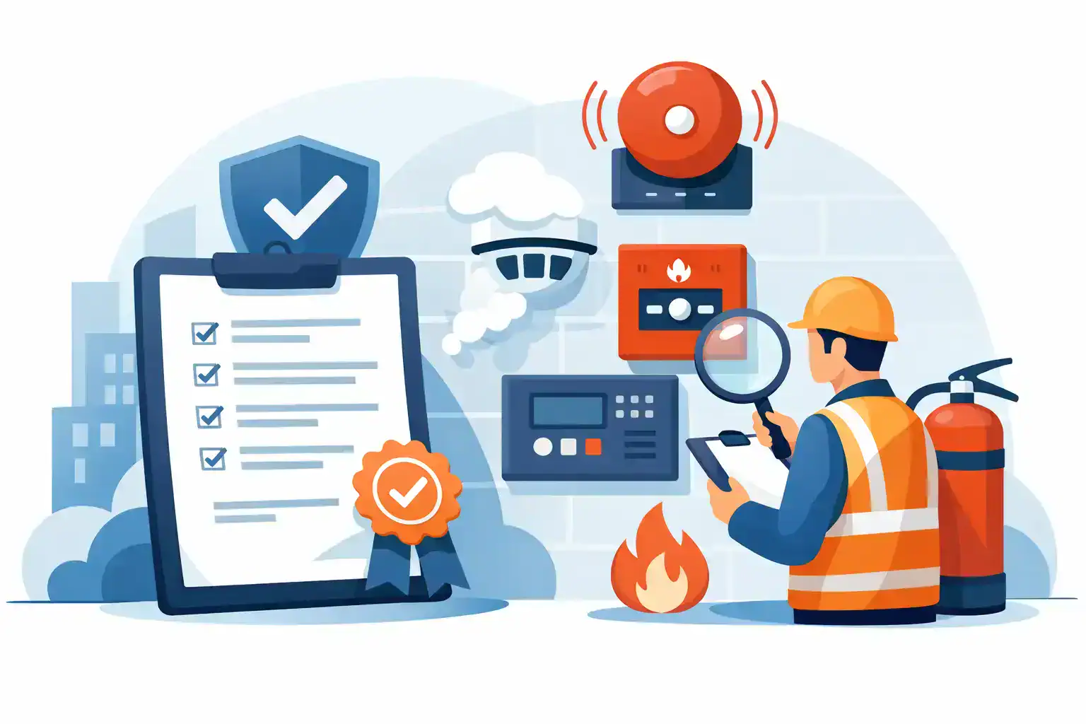
🔥 6. Fire Protection & Life Safety Engineering

This is our core specialty. All fire protection designs, reports, and approvals are delivered in strict compliance with SBC, NFPA, Saudi Civil Defense, and MODON regulations.

🔴 Firefighting Systems Design

  • Wet, Dry, Pre-Action & Deluge Sprinkler Systems
  • Foam systems, foam monitors & foam standpipes
  • Water Mist systems (NFPA / UL / FM)
  • Fire pump room & hydraulic calculations
  • ESFR, CMSA, CMDA & In-Rack Sprinklers

🔔 Fire Alarm & Detection Systems

  • Addressable, Conventional & Voice Evacuation
  • VESDA, Linear Heat & Video Smoke Detection
  • Smart & IoT-enabled fire detection systems

📄 Fire Safety Studies & Reports

  • Fire Strategy Reports
  • Fire Risk Assessments
  • CFD Smoke & Evacuation Analysis
  • SBC, NFPA & MODON compliance reports
  • Emergency & Evacuation Plans

🏭 7. Industrial Engineering Consulting

  • Factory layout & material flow optimization
  • Production line improvement & lean manufacturing
  • OEE, time & motion studies
  • Industrial piping & process engineering

🛢️ 8. Oil & Gas Engineering Consulting

  • API 650 & API 620 storage tank design
  • LPG, LNG & Natural Gas piping systems
  • Explosion risk & ATEX hazard studies

🌿 9. Environmental Engineering Consulting

  • Environmental Impact Assessments (EIA)
  • Air quality & emission monitoring
  • Waste & hazardous waste management
  • STP, WWTP & grey water systems

📞 Contact Us for Engineering Proposals

WhatsApp / Call: 0557984942

WhatsApp / Call: 0545587404

Email: project.manager@telal-elwatan.com

لقسم الاستشارات الهندسية والتقارير والشهادات ومتطلبات الدفاع المدنى والبلدية و هيئة مدن  يرجى الاتصال على 0557984942

للتوريدات والطلبات الاخرى يرجى ارسال طلبك واتس اب لخدمتكم

بشكل اسرع على احد الارقام التالية 0531433890 

X